Measuring and tracking changes
Since the 1980s, Landgate has been at the forefront of capturing and using satellite imagery.
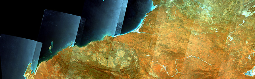
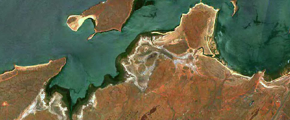
Used to measure and track natural and human induced changes across the Earth, satellite imagery can produce images of large or small parts of the world from a small section of city streets to an entire continent.
Satellites capture information that is not visible to the human eye and most carry more than one sensor on board to capture images in low to high resolution.
At Landgate we have our own satellite receiving station so we can capture imagery from certain satellites in near real time. We also have agreements in place to allow access to commercial satellite data, and we use this in websites we manage for a range of fire monitoring and agricultural applications.
Spatial resolution
Spatial resolution refers to the level of detail that can be retrieved from an image. As one of the key parameters in satellite imagery, resolution is the size of one pixel on the ground and is measured as the distance between the centre points of each adjacent pixel.
The spatial resolution of satellite imagery differs depending on the satellite and the sensors it has on board. Spatial resolution can be categorised as:
- Low resolution: 60m - 2km per pixel
- Medium resolution: 10 - 30m per pixel
- High to very high resolution: 30cm - 5m per pixel
At Landgate’s satellite receiving station we receive data from satellites that have a spatial resolution from 250m to 1km. (Not all have sensors with all the resolutions listed above on them.)
Satellites we receive date from, include:
- NOAA-18
- NOAA-19
- MetOp-B
- MetOp-C
- Terra
- Aqua
- SNPP
- JPSS-1 (also known as NOAA-20)
- FY3-D
Access to satellite imagery
Access will depend on the spatial resolution of the imagery that you are seeking:
If you require high and very high resolution satellite imagery, Landgate can purchase this on your behalf and we will pass on costs. Alternatively, we will point you to one of the commercial operators.
Landgate has agreements and partnerships that allow us to access medium resolution satellite imagery at 10m, 15m, 30m and 60m. This imagery is from satellites named Sentinel 2, Landsat 8 and Landsat 9, and much of the data is freely available on the internet. Landgate uses this imagery in websites we manage for fire monitoring and agricultural applications.
Landgate has an agreement in place to access very low resolution satellite data from the satellite named Himawari-9. This data is displayed on the FireWatch website we mange. The frequency of coverage varies from once every 10 minutes over the whole country (from Himawari-9) to once every 16 days in a strip about 185km wide (from Landsat 8 or Landsat 9).
Applications for satellite imagery
Landgate manages several websites that predominantly use satellite imagery. The sites fall into two categories as below:
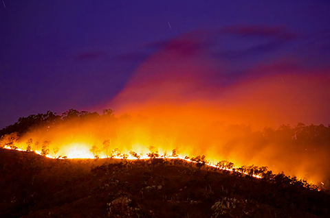
MyFireWatch
This public site allows you to interactively browse satellite observed hotspots, burnt areas and lightning strikes.
Launch MyFireWatch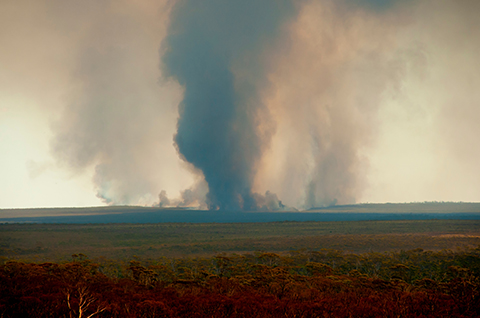
FireWatch Pro
This site for land managers offers increased functionality, frequent satellite imagery updates, and free registration.
Launch FireWatch Pro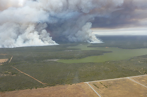
Aurora
This site is specially designed for emergency services personnel and can only be accessed by authorised users.
Launch Aurora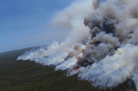
Aurora Fire Behaviour Calculator
This site is designed for fire behaviour analysts and was built in partnership with DFES.
Launch calculator
Who can use these applications?
With the exception of Aurora, anyone can log in as a guest user on these applications and all datasets are available for viewing. Register free on the FireWatch-Pro website to gain access to additional functionality.
Access to Aurora is restricted to State Government employees working in emergency management. Before gaining access, you will need to be trained by emergency services personnel in your State or Territory.
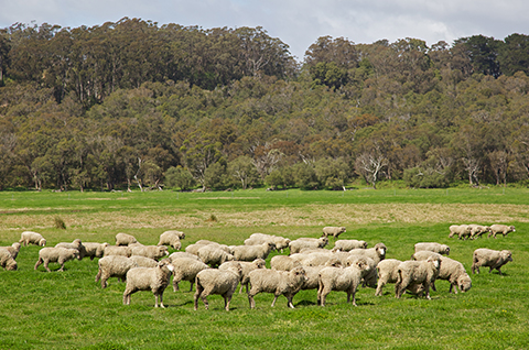
Pastures from Space (PfS)
This app gives farmers, agronomists and land managers weekly pasture growth rate (PGR) and feed on offer (FOO) information. This is a DPIRD owned, Landgate managed application.
Launch PfS
Pastoral Remote Sensing (PRS)
This platform provides information on biomass, greenness and ground cover to assist pastoral land managers in WA rangelands. This is a DPIRD owned, Landgate managed application.
Launch PRSWho can access these applications?
Anyone can use these applications and all datasets are available for viewing.
Satellite imagery costs
Lower resolution imagery
Raw imagery from the lower resolution satellites such as Terra, Aqua, SNPP and JPSS-1 is available from Landgate for the cost of extraction and provision. Value-added products are charged on a case-by-case basis, and costs depend on the amount of coverage and number of bands of information you require.
Please email any requests to BusinessSolutions@Landgate.wa.gov.au
High to very high-resolution imagery
Landgate can procure high to very high-resolution imagery via the Capture WA program. This program is only available to WA public sector agencies and Local Governments. It allows access to satellites such as (but not limited to):
- SPOT (1.5m spatial resolution)
- WorldView-2 (as low as 46cm spatial resolution for panchromatic imagery)
- Worldview-3 (as low as 30cm minimum spatial resolution for panchromatic imagery).
Public sector agencies can visit Capture WA to register and submit requests for a range of satellite and aerial imagery.