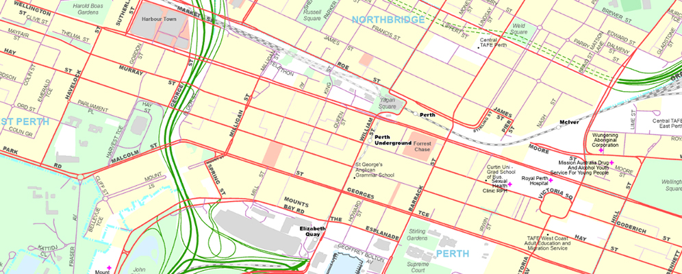
What is included?
Designed for use within Geographic Information Systems (GIS) and online mapping applications, our tile cached basemap service introduces faster panning and redrawing of location information commonly used across many sectors.
Basemap is provided as part of our SLIP subscription service to deliver efficiencies for technical users, plus a better end user experience.

Key features and benefits:
- WA centric basemap comprising commonly used Landgate location information.
- Save time by no longer needing to maintain your own basemap.
- Cached map tiles for speed, resulting in greater user experience.
- Updated quarterly.
- ESRI cache map service and WMTS (web map tile service).
- Discounted price when purchased with selected Landgate subscription services
How to access our basemap
Access much of our location information datasets 24/7 for as many of your team as required with our Shared Location Information Platform (SLIP). Find out if this platform is right for you.
Go to the SLIP subscription services
Subscribe to SLIP
Need help?
You can contact our Customer Experience team on +61 (08)9273 7683 or email CustomerExperience@Landgate.wa.gov.au for more information on our data and SLIP subscription services.